TakiWaehere – New Zealand Geospatial Hackathon
The Hackathon took place over the weekend of 17-18 April, 2021 and was attended by 230 students across 68 teams at universities throughout New Zealand.

Powered by MBIE and Maxar
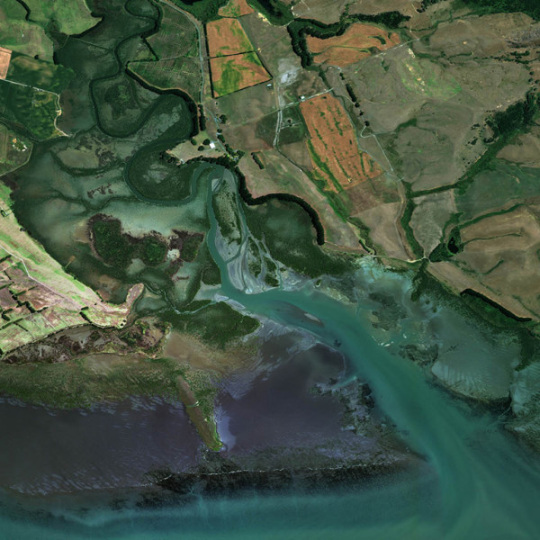
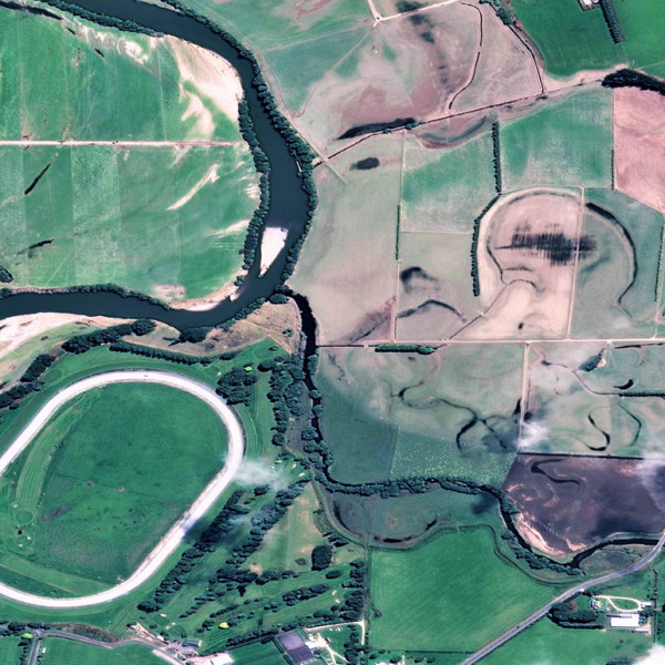
Discover the stories behind the winning entries. Find out the advantages of using high resolution Maxar imagery over normal satellite data and see how these amazing ideas can be put to use in the real world.
AUNTS
Video Transcript
Interpolators
Video Transcript
SIS
Video Transcript
Maxar own and operate the world’s most sophisticated constellation of Earth imaging satellites. With 4 active satellites in orbit, they collect more than 3 million square kilometres of imagery every day!
Find out more about Maxar’s innovative technology on their website(external link)
Free training plus access to Maxar satellite imagery
- Use Maxar satellite imagery to solve real life challenges that are facing us right here in Aotearoa New Zealand
- Develop innovative solutions that can be scaled and applied on a regional or national level
- Receive free mentoring from expert coaches for the duration of the challenge
- Enjoy free food and coffee throughout the event to keep you well-fed and focused
Win amazing prizes valued at over US$150,000!
Winning teams could win $5,000 cash prizes as well as Maxar SecureWatch data subscriptions, University ‘Space Selfies’ and more.
Are you a visionary, hustler, hacker or designer?
Good coding and software engineering skills are essential, but we’re also looking for diverse teams with a range of interests and knowledge. When choosing your team members, try to include people from the following groups:
- Visionary – I see what the future could be and have great ideas about how to make it happen
- Hustler – I can build relationships and influence people to make a vision a reality
- Hacker – I look at a vision and work out how we can prototype and gain customer feedback
- Designer – I walk in the customer’s shoes and work out the look, feel and taste of the vision
Choose your challenge theme
Following are the types of challenges your team may want to work on. These are challenges that we think suit the imagery of real use cases in New Zealand. Please indicate the challenge that interests you most on the registration form, so we have some idea of what teams are curious about.
Registration form(external link)
(If you find yourself suddenly inspired on the day of the Hackathon, don’t worry – the challenge you select now doesn’t have to be the same as the challenge you choose to tackle on the day, which can be anything that inspires you regardless of whether it fits within these challenge categories.)
Understanding COVID-19 and preparing for the future
Planning for a changing coastline
Healthy local waterways
Wildlife populations
Urban landscapes
Wetlands and estuaries
Managing emergencies
Expected outputs
You will create and present a runnable prototype to solve your chosen challenge using Jupyter Notebooks and other tools, and be able to describe clearly your motivation, your vision and your plan.
Judging criteria
Teams are judged on:
Creativity (10% of final score) Teams should work collaboratively and incorporate a range of perspectives and ideas to create an innovative, creative and original proposal that considers usability, design and intuitiveness.
Problem/Opportunity (20% of final score) How teams leverage data and resources to develop a design tailored to address the challenges identified for the specific area of interest.
Solutions (35% of final score) A new and efficient solution which addresses the identified challenge and identifies useful patterns, change detections and other insights to provide actionable information. The extent to which the solution addresses government objectives and national challenges.
Competitive advantage (35% of final score) Include innovative uses of AI, machine-learning technologies, analytics and high-resolution imagery. Is realistically achievable with existing technologies within the near term, not vague or overly complex to the user, or reliant on a technology that is not yet on the market.
Mentorship and training
All team members will receive webinar training by Maxar prior to the competition. You will learn how to apply Maxar imagery (including 30-50 cm optical, 8-band multispectral, and short wave infrared) over selected areas of New Zealand to solve the challenges identified within the Hackathon.
Using the latest trends in space observations for earth intelligence Maxar experts will explain key imagery characteristics such as spatial, spectral, temporal, radiometric, and angular resolution and how each applies to advanced analytic applications. You will learn how to turn geospatial data into information at scale.
Expert mentors will be available throughout the Hackathon for you to ask questions (more information about the mentors in the Stuff You Should Know Section).
Training schedule
We held a training session for the participating students on 31 March 2021, and a training session for the mentors on 7 April 2021. The recordings of these training sessions has been added to the Slack Channel (get in touch with your University point of contact if you don’t have access to this). We expect all participating students to view the webinar ahead of the Hackathon.
We are also holding a Q&A session on Wednesday 14 April, 10am to 11am, for students to ask any remaining questions ahead of the Hackathon. The Q&A session will have Maxar experts available.
Students’ Q&A session:
Wednesday 14 April – 10-11am (invite details will be emailed out)
Stuff you should know
You need to be a student at one of these participating universities*:
- University of Auckland
- Auckland University of Technology (AUT)
- Victoria University of Wellington
- University of Canterbury
- University of Otago
- Massey University (University of Auckland campus)
*If you are not a student of any of these universities, or you wish to take part at a different university from the one you usually attend, please contact the NZ Space Agency (nzspaceagency@mbie.govt.nz), who will help direct your query to the appropriate university contact.
- You will have 24 hours to work on your challenge submission.
- Choose only one challenge per team
- You will be using Jupyter Notebooks and Maxar will provide access to high resolution satellite imagery
- You are allowed to use other sources of data as long as you have the necessary permission
- Teams are limited to 6 people (we also encourage teams of more than 1 person)
- Final deadline for registrations: Friday 26 March 2021
Eligibility
Only New Zealand residents currently enrolled at one of the participating New Zealand universities are eligible to participate.
What to bring to the Hackathon
Bring your laptop with plenty of storage. If you have an external hard-drive you might like to bring that too for extra back-up. You’re welcome to bring any personal items you think you might need like snacks (and a pillow if you’re thinking of staying the night).
Catering
Your university will cater for all major meals (breakfast, lunch and dinner) and will also have coffee and healthy stuff like fresh fruit available to keep you going.
Team numbers
Although you can register as a team of one, working collaboratively within a team of two people or more is encouraged. Two or more people are always better than one for solving problems, finishing off difficult tasks and coming up with creative solutions.
What to expect from mentors
Your university will provide expert mentors from your academic faculty who will be available on campus for the 24-hour period (at least one at all time). We have also organised for expert industry mentors (including Maxar experts) to be available through an online support service (via a Slack channel) where you’ll be able to ask any questions.
The mentors are there to help guide your thinking and answer any technical questions. As an example, they might ask you questions to help you find the answers, or direct you to helpful resources. So long as they’re not doing the work for you!
Prizes
Teams placing first
- $5,000 cash prize
- New imagery taskings for research
- Three months SecureWatch data access (50GB - Limit of 10 users per team)
- University ‘space selfie’ (one 30-50cm resolution optical image timed for university site collection)
Teams placing second
- $5,000 cash prize
- Three months SecureWatch data access (50GB - Limit of 10 users per team)
- University ‘space selfie’ (one 30-50cm resolution optical image timed for university site collection)
Teams placing third
- $5,000 cash prize
- One month SecureWatch data access (25GB - Limit of 10 users per team)
- University ‘space selfie’ (one 30-50cm resolution optical image timed for university site collection)
Judges
The panel of expert judges for the Hackathon have now be identified! See below for more details:
Panel Chair:
Peter Crabtree - Head of the New Zealand Space Agency, MBIE
Panel Members:
Dr Kumar Navulur - Senior Director, Strategic Business Development, Maxar
Todd Bacastow - Senior Director, Strategic Growth, Maxar
Nancy Golubiewski - Principal Scientist, Ministry for the Environment
Dr Alan Cheung - Manager of Data and Data Analytics, NZ Defence Force
Josh Norton - Senior GEOINT Developer (Head of the Developer Team), NZ Defence Force
Matt Lythe - Managing Director, Lynker Analytics
Finlay Thomson - CEO, Dragonfly Data Science
Remote participation
While we intend this to be an in-person event, if you’re unable to attend for any reason you can participate remotely. However, we require at least one person in your team to be present at the campus event.
Changes to Covid-19 alert levels
Under Alert Level 2 the in-person event will continue, however we will follow the appropriate protocols advised from the university.
Under Alert Level 3 or higher, the event will be postponed for two weeks (the event will then move to 1-2 May) for an in-person event. If we are still in Alert Level 3 on 1-2 May, then we will move to a virtual Hackathon.
Note: for alert Level 3 or higher we will postpone once to try for an in-person event, and then go virtual if needed. The event will occur no later than 1-2 May 2021.
Challenge themes
You will work with a set of specific AOIs/imagery relevant to the challenge themes. However, these challenge themes are examples only of what your project could be. You can choose to come up with your own theme entirely, provided you base it off the AOIs/imagery supplied.
Imagery data
You are welcome to use any number of the imagery data provided in order to solve your chosen challenge. For some challenge themes, there are multiple AOIs that might be relevant. We will provide some guidance around which sets of data might be useful for certain challenge themes.
Technical assistance during the Hackathon
Once registrations are closed you will receive an email inviting you to access support services via the Slack channel. The channel will be monitored throughout the Hackathon by technical experts who can help with any IT problems.
Accessing data sets/imagery
Throughout the Hackathon, you will have access to a selection of data sets. Each data set will contain images of one or more geographical areas. Many of the data sets will have imagery from multiple days over the same area(s).
We don’t want to say exactly what the data sets are too soon, because that would spoil some of the fun! During the week before TakiWaehere, you’ll receive a link with summaries/previews of the data sets and you’ll be invited to download the encrypted versions of any data sets that you’re interested in. You can continue to download them until 12PM noon on Sunday 18 April. Once TakiWaehere begins, you’ll receive the decryption key and gain access to your downloaded data!
If you’re curious as to what the imagery might cover, here’s a hint – the data sets you’ll have access to will allow you to answer the suggested challenge themes, and some of the images we’ve been putting on Twitter are from the data sets too!
NZ Space Twitter(external link)
Practice runs
Maxar Technologies release imagery through the Open Data Program for disaster response. You can download full images and have a go at designing software to extract insights here:
MAXAR.com Open Data Programme(external link)
There are countless tutorials and upskilling opportunities online for learning geospatial, machine learning and other skills, particularly useful if you are looking to learn specific skills for a particular type of application. Many of these resources are freely accessible. Here are a few that might provide a good starting point:
- Materials from the University of Helsinki Automating GIS-processes course 2020(external link)
- Chicago University spatial data science YouTube playlist(external link)
- Materials from the University of Liverpool Geographic Sata Science course 2020(external link)
- Coursera Spatial Data Science(external link)
The materials of many courses online can be freely accessed (Coursera for example), even though the formal qualification requires paid access.
Note that these are examples only, and their listing here does not constitute an endorsement by any of the involved parties.
Copyright and IP
Your team owns your project but the imagery is subject to Maxar’s copyright conditions. If after the event you wish to develop your project further using Maxar imagery please contact us at The New Zealand Space Agency nzspaceagency@mbie.govt.nz
Submission content
In your submission, we’re not just after your working prototype (or at least mostly working!). We also want you to tell us about the whole project:
- Motivation: Why did you pursue this project in particular? What problem does it solve? How might it be used?
- Approach/Scope: What did you develop? What techniques did you use? What makes your solution unique?
- Outcome/Deliverable: What did you produce? What does it do? How does it work? What makes it more effective than other solutions?
Deadline for submissions
You must email your efforts by 12:00 noon on Sunday 18 April (at the end of the event) to nzspaceagency@mbie.govt.nz (Choose from the following options):
Option 1 (preferred): a working dashboard or other functional webpage that demonstrates your prototype via user interaction. Make sure you include a section that answers the project questions!
Option 2: if you can’t produce a working dashboard/webpage for whatever reason, that’s fine too – you can present your prototype in a Jupyter Notebook (or similar source code) with a separate document (either a deck of up to 3 slides or a one-page flyer – templates will be provided) that answers the project questions.
TakiWaehere code of conduct
Your university will have its own code of conduct which you will be expected to follow.


